Day 88. I enjoyed the Sabbath listening to the University Ward over Zoom. Then I walked around the town and tried to follow their historic path, but the markings had become a little too historic.
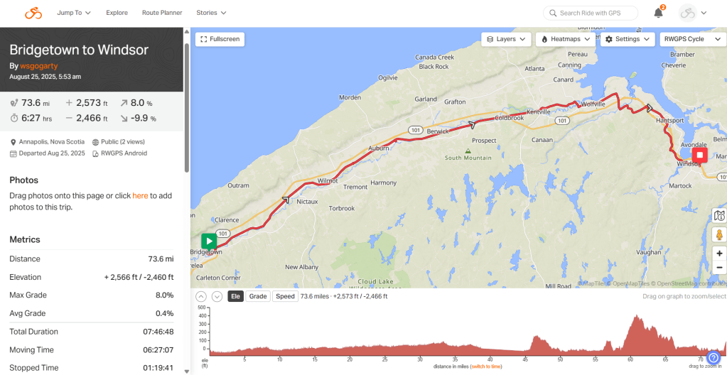
Day 89. Bridgetown to Windsor. 74 mi. 5,272 MI TTD. 2859 FT elevation. Weather: windy with a little rain.
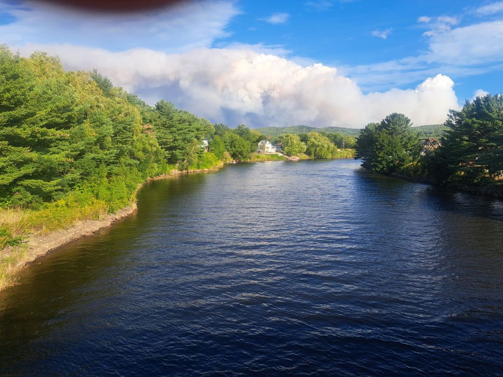
Unfortunately, that is not a cloud coming over the horizon. It is smoke from a forest fire about 10 miles south of Bridgetown, where I stayed over the weekend. On Sunday, I kept receiving emergency alert notifications about evacuations in nearby areas. They were evacuating to Bridgetown. Thankfully, I was not in an evacuated area. As you can see, the smoke was moving away from the town, but by this morning, when I came out the door of the motel, it was smoky. I was glad to be heading out of town and away from the forest fire.
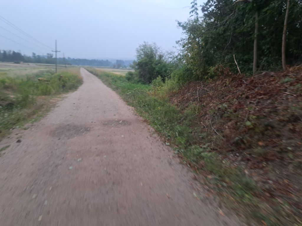
I left about 6:30, hoping to beat the wind, which seems to pick up around here in the afternoon. It was foggy, smoky, or both. The trail was just a block from my motel. It was a continuation of the Annapolis Valley Rail Trail. I jumped on and started pedaling toward the town of Windsor to the East. The trail was a little beat up from ATVs, but it was generally pleasant to ride.
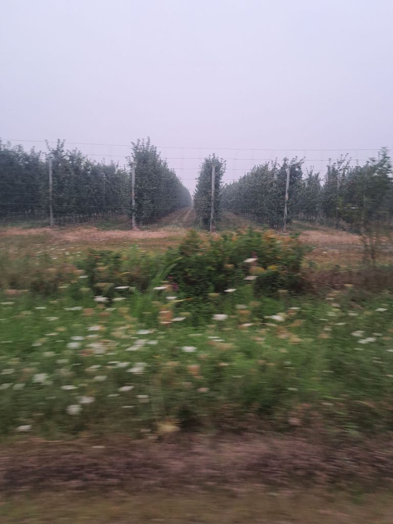
I can’t say that Nova Scotia has been beautiful. Maybe I’m in the wrong part. Obviously, I’ve only been by the sea when I came in on the ferry and a little bit today. In general, there have been many small homes and mobile homes in the woods, with pickup trucks racing along the relatively narrow country roads. It has a bit of an Appalachia mixed with seafood sort of feel. The experience so far has left me wondering if I should pedal up to PEI rather than across the rest of Nova Scotia.
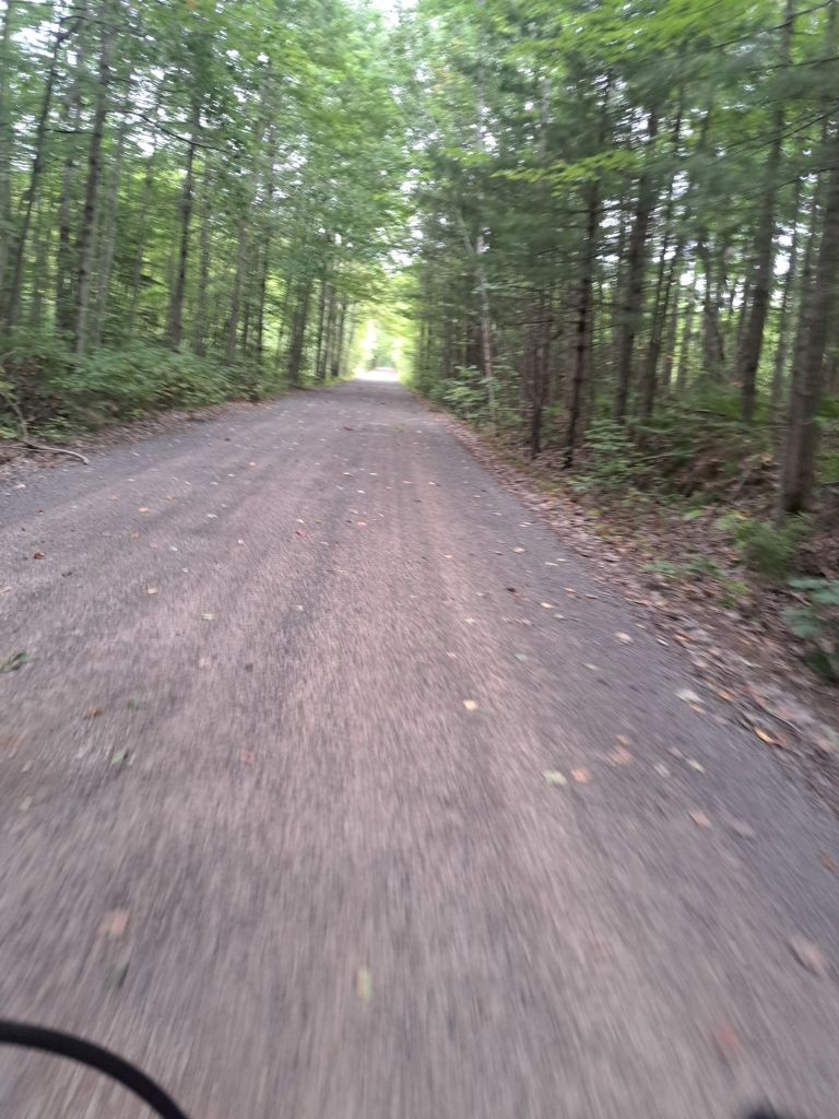
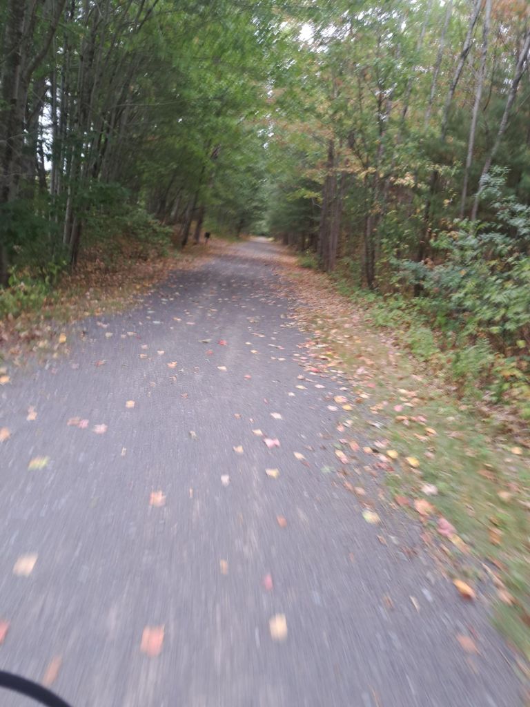
The rail trail was beautiful. It took me some 80 km. Almost all of that time was secluded in the woods, and I never passed another person. That might have been because, as I went further down the trail, I came upon barriers. I went around them, but eventually, I read one. It was the province-wide closure of wooded area trails due to forest fire concerns. I appreciate their concern about forest fires, but I cannot comprehend how my bicycle could cause one.
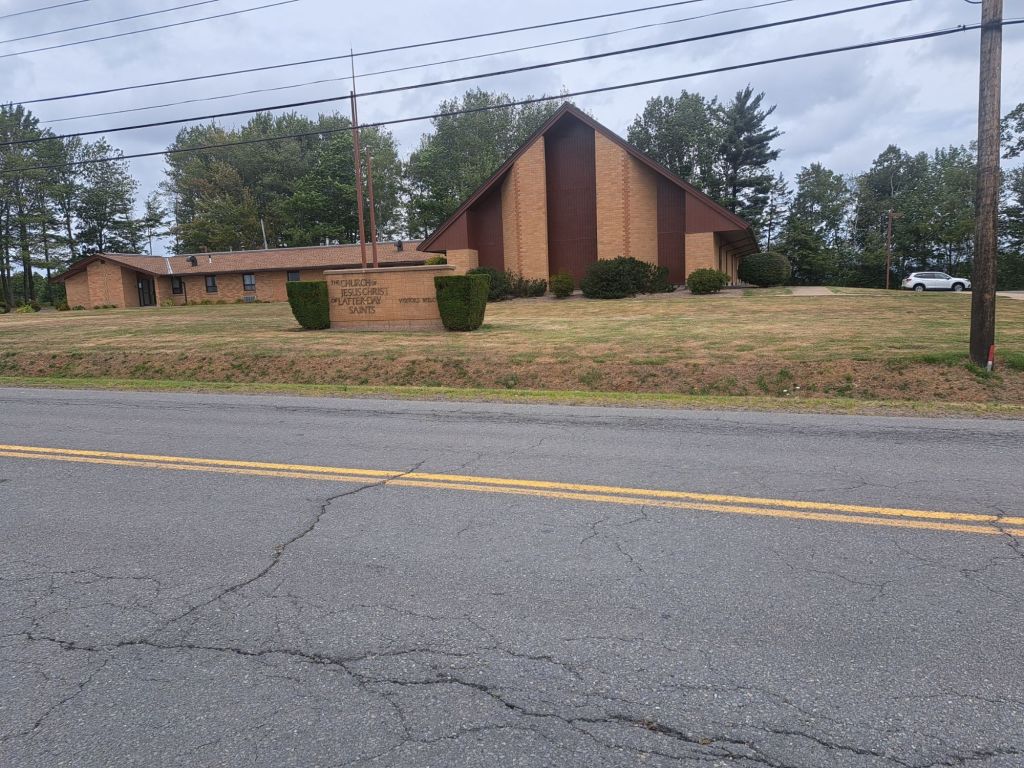
The first trail ended, dumping me in the town of Kentville. I found the LDS church. As usual, it’s Monday today, and I was 40 or 50 km from this church on Sunday. Thankfully, at the end of Kentville, I found another trail. After rounding a barrier, I continued merrily on my way. My assumption was that anyone trying to enforce the closure would appreciate that a bicycle trying to get across the country should be allowed to ride on the trail.
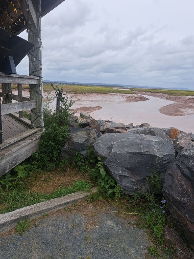
Unfortunately, this picture doesn’t do justice to the large title shifts. The muddy area is about 30 ft below me, and during high tide, the water is almost up to these rocks. This was a trail I chose to ride on, even though my route app had tried to divert me off of it. It was a beautiful trail, and once again, I was by myself as I passed barrier after barrier. At the end of this trail, there was a historic site, and some people were milling around and started talking to me. They weren’t worried about me starting a fire, but they did note that they’d heard of people being fined, and the fine was $25,000!! Thankfully, I didn’t find that out the hard way, and I immediately exited the trail and continued on the side road.
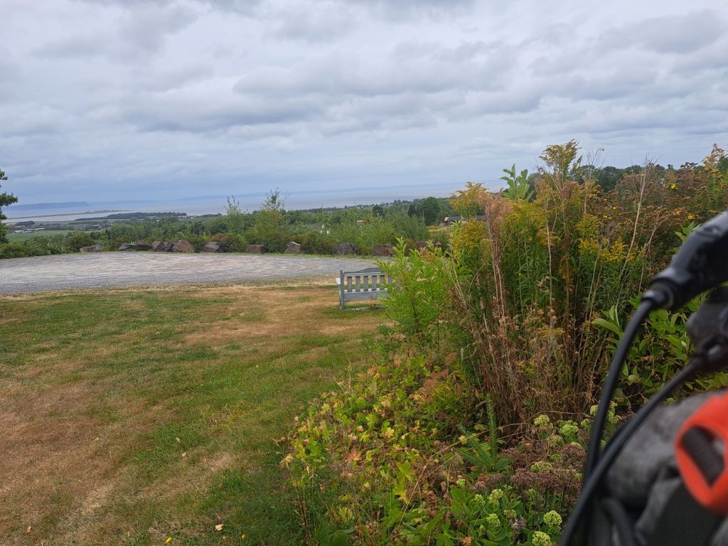
Being forced off the trails meant I was on country roads. Country roads meant no shoulder. It also meant over hill and dale. At one point, being on the top of the hill allowed me to look out over the ocean, or at least what I could see through the smoke of Scott’s Bay. Sadly, it wasn’t a very pretty sight, and I was anxious to continue riding because the sky was starting to spit rain. Fortunately, I was only about 10 miles from the motel and was able to get there with only a little spattering of rain. Unfortunately, between the trail closures, the smoke, and the lack of shoulders, I’m even more seriously contemplating an alternate route back into New Brunswick and over to PEI. Stay tuned
