


We only had about 6 miles from the motel to the start of the Great Alleghany Passage (GAP) Trail but those 6 miles were through Pittsburgh, across two bridges, and unknown hills. It took me hours to plan the six mile route and 5 minutes to figure out the next 60 miles.
It was urban riding at its best: homeless people greeting us warmly on most corners, trains squealing over all other sounds, the usual cars trying to kill us, and bridges over huge rivers: the Ohio, Allegheny, and Monongahela. The second two forming the first. In the last slide above, the Ohio (with huge coal barges) is in the foreground. The Allegheny comes in from the left and the Monongahela from the right. The fountain at the base of all the big buildings was our destination.
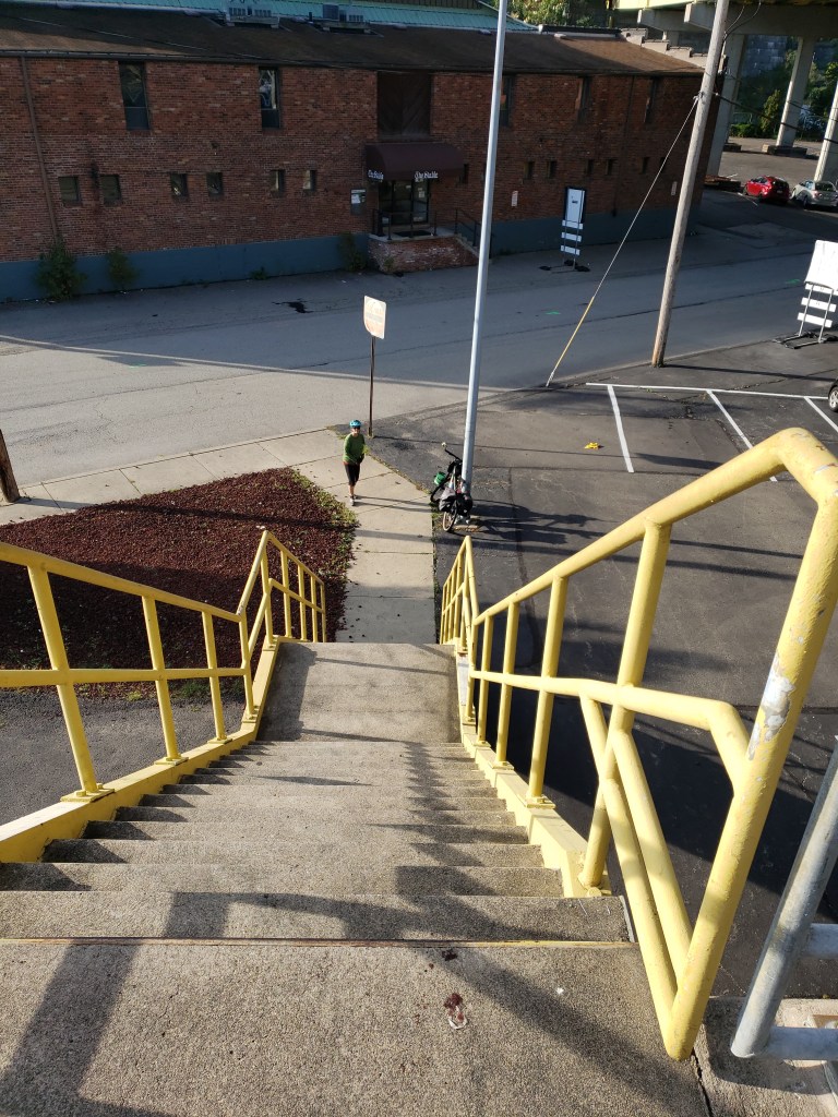
After crossing the Ohio, on what Google thought was a bike route, the trail suddenly ended in a typically steep Pittsburgh hill. Unfortunately it wasn’t rideable due to the stairs. The waterways otherwise made for a beautiful and pleasant ride.

It also made for some interesting sightseeing. You might better appreciate the size of the Ohio when you notice a real WWII submarine parked on its banks. Why else is a submarine in the river, I have no idea but it was cool looking.
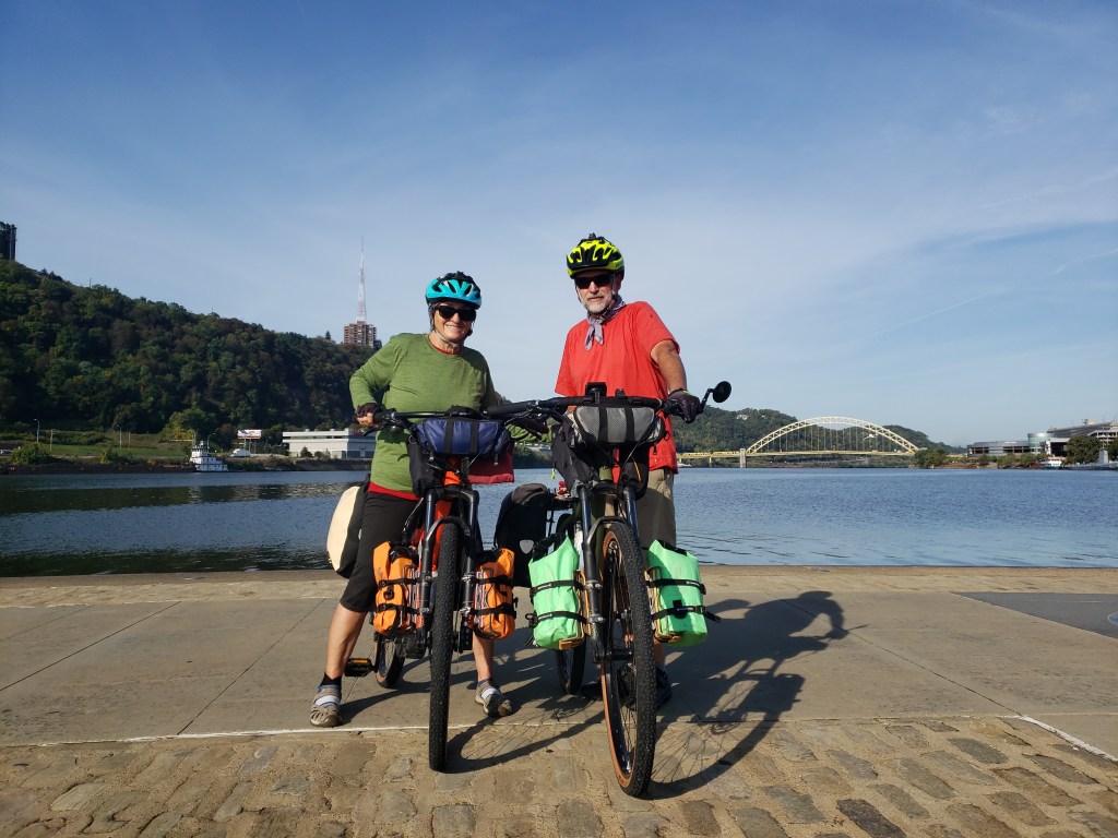
When we finally arrived we felt blessed to be safely at the start of GAP – alive. The official start (or finish) of the GAP is at Point Park in Pittsburgh. We were told there was a start point plaque but could never locate it or for that matter any signage that we were on the GAP trail. We pedalled up the Monongahela river courageously believing that we were on the GAP.

My hope was that not only were we on the GAP but that Gloria would really enjoy this part of the ride – thus forgetting anything difficult/painful that she had endured in the previous 3 weeks.

In that hope I was initially disappointed as the ride continued to be quite urban – ok all cement and no grass with cars screaming by on a freeway next to the trail.

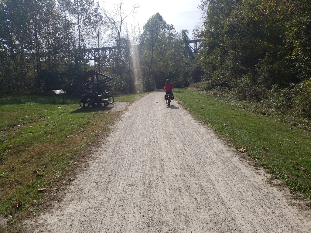
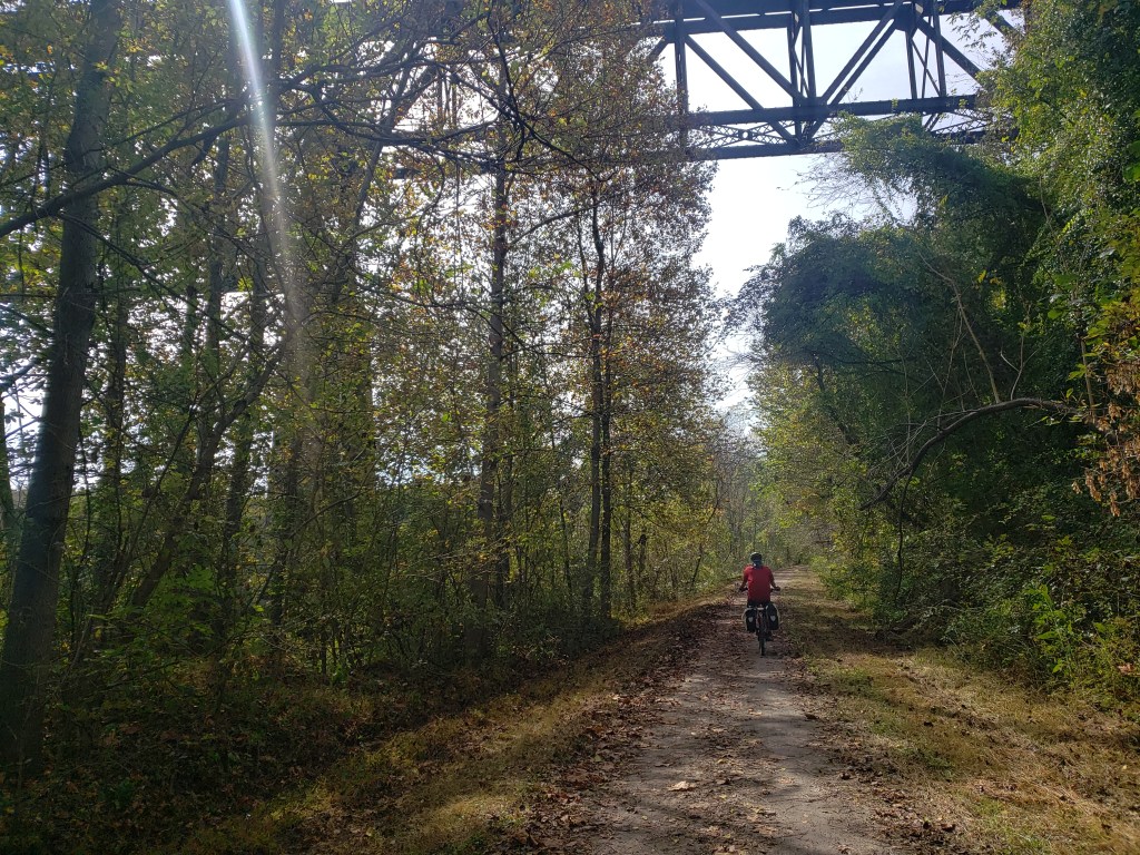

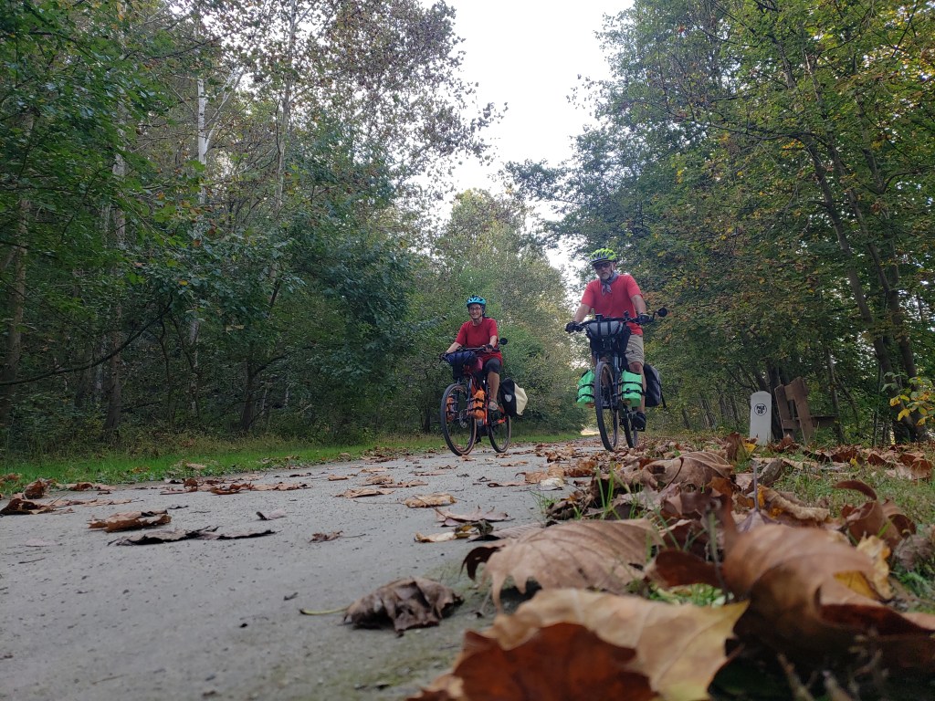
Thankfully urban quickly became rural and rural was incredibly beautiful. The noise of the city faded and was forgotten as we settled into pleasant stretches of tree lined trail broken with little towns that had embraced the idea of having a riding trail in their backyard – in some cases literally.
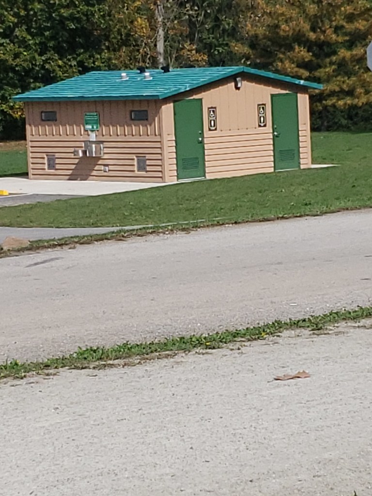
We took this picture to send to the governor of NY – whomever that is today – to show him/her what a bathroom is and how nice they are to have them on a bike trail There were bathrooms all along the GAP trail and in every town. They had water stops and benches and even wonderful little campgrounds – not that I would camp but nice for other people. It is impressive on every level from riding to support.

After several miles on the Monongahela, we broke off in McKeesport and began following the Youghiogheny River. Where do they come up with these names? Apparently from throwing a bunch of scrabble tiles onto a table. Regardless of the names both rivers were great to ride along.
And from the looks of all the riders we saw today, embracing it meant there was economic opportunity. Regardless, for us, it was clearly the best day of riding on the trip to date and everyone says it just gets better.

Since it is National Indigenous Day (which I didn’t realize till driving downtown to the office and realizing no one else was…) I am guessing many of the River names came from the Native Americans!
LikeLike
You are correct: “The U.S. Board on Geographic Names reports that Monongahela is a name of American Indian origin, one that means “river with the sliding banks” or “high banks that break off and fall down.”
LikeLike
Sounds as if things on the trail are improving that’s wonderful. Stay safe and God Bless.
LikeLike